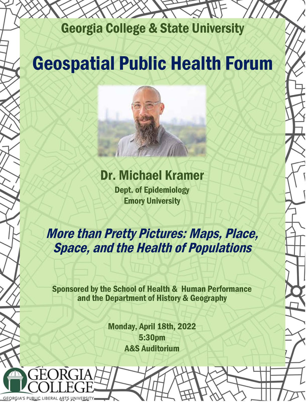
Geospatial Public Health Forum
Wednesday, April 18, 2022 5:30-7:00 p.m.
Georgia College & State University, Milledgeville, Georgia
As the world becomes increasingly interconnected, the health sciences are relying more and more on geospatial technologies, including geographic information systems (GIS), to analyze numerous factors affecting human health. The Centers for Disease Control (CDC) in Decatur, Georgia, for example, employs a large team of geospatial experts to help answer questions about how location and movement impact disease, disability, and vulnerability. The purpose of our forum is to feature research by geographic specialists working on projects such as social vulnerability, environmental exposure and public health emergencies including infectious disease outbreaks. The target audience is students of geography and public health, but we welcome everyone from the university and our community. Please join us for light refreshments and a chance to engage with a professional on topics related to spatial analysis and public health.